Record Lows Recorded In Wenatchee; Snow, Freezing Rain Coming
Wenatchee and all of North Central Washington will be getting several rounds of winter weather this week, beginning with snow Tuesday afternoon.
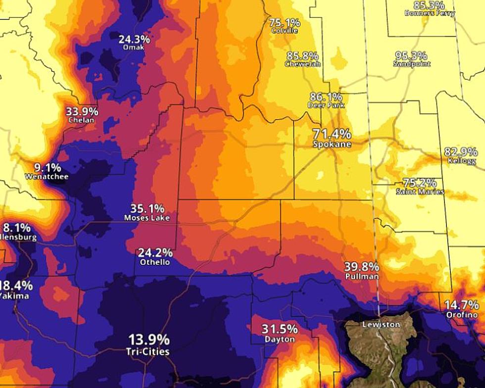
National Weather Service meteorologist Steven Van Horn says accumulations will be heavier in eastern Washington than the North Central area.
"The way the atmosphere works with the winds coming across the Cascades, if it's more of a westerly direction it does have some drying as it comes down the Cascade Mountain range," said Van Horn. "So, that is going to happen, which is why you're not going to get as much snow as, like, over here in Spokane (location of the National Weather Service office)."
Wenatchee, Lake Chelan, the Waterville Plateau and the Columbia basin will all get 3-5 inches of snow Tuesday afternoon through Wednesday night.
Leavenworth could get 8-12 inches.
Van Horn says we'll see freezing rain or sleet on Thursday and Friday.
"Usually with Arctic's like this, that colder air near the surface is deep enough that the rain will fall through and re-freeze before it hits the surface and you get some sleet," Van Horn said. "So, the usual transition for something like this would be snow to a sleet to freezing rain."
The Weather Service is not confident on how heavy the freezing rain will be but will likely not be enough to break tree branches.
Travel conditions could deteriorate during the blast of freezing rain.
Meanwhile, record low temperatures were set in the Wenatchee area over the weekend.
Friday's low was minus 7, breaking a record of minus 2 in 2017. Saturday was minus 10, breaking a record of minus 1 in 2017, and Sunday was minus 4, breaking a record of minus 1 in 1971.
The record lows were all recorded at Pangborn Airport.
Temperatures will be steadily warming up this week.
Washington Winter Emergency Car Kit
Gallery Credit: AJ Brewster
